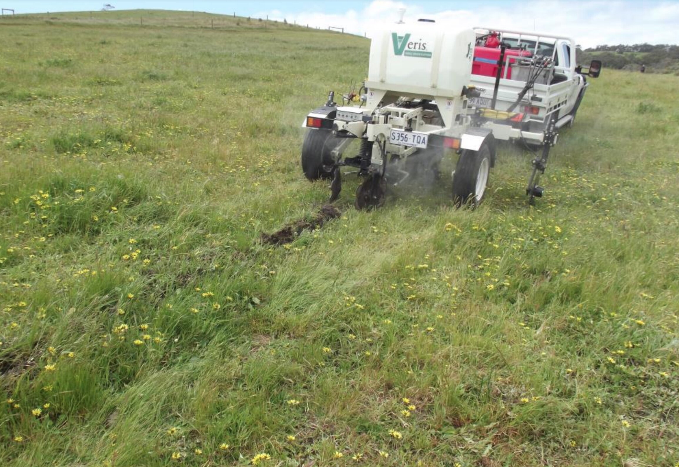
Precision pH & Electro Magnetic Mapping Demonstration
Soil acidity is recognised as a major land degradation issue in the Fleurieu region. Historically, liming has occurred on a paddock by paddock basis and no account has been taken of pH variations across paddocks. pH mapping has the ability to determine in – paddock variation and lead to improve liming strategies which are both more cost effective and efficient in the treatment of soil acidity. This new technique will be undertaken on 10 paddocks on at least 5 farms. We expect this will be on around 300ha. Key aims will be to provide information on how well this new practice works in this region. This will include the accuracy of the technique and whether useful differences are observed and, if so, what landscape patterns are evident. For this reason, demonstrations will be undertaken on a range of different properties, soils and grazing regimes.
On each paddock evaluation of pH zones determined will be undertaken. In addition to producing the precision pH maps, evaluation work will be focussed on whether there is a relationship between surface pH zones identified and the pH in the 10-20cm layer ( i.e. subsurface acidity), and whether distinct landform patterns occur within the region so variation in pH can be estimated in other paddocks without the need for further testing.
The precision pH mapping machine has the capacity to undertake Electro Magnetic (EM) mapping at the same time. EM scanning should reflect the soil types, depth and depth to rock and clay so an evaluation of this technique will also be made. This may assist with the identification of moisture storage capability of different soil profiles.
The pH mapper results across the 10 paddocks and report can be found here.
